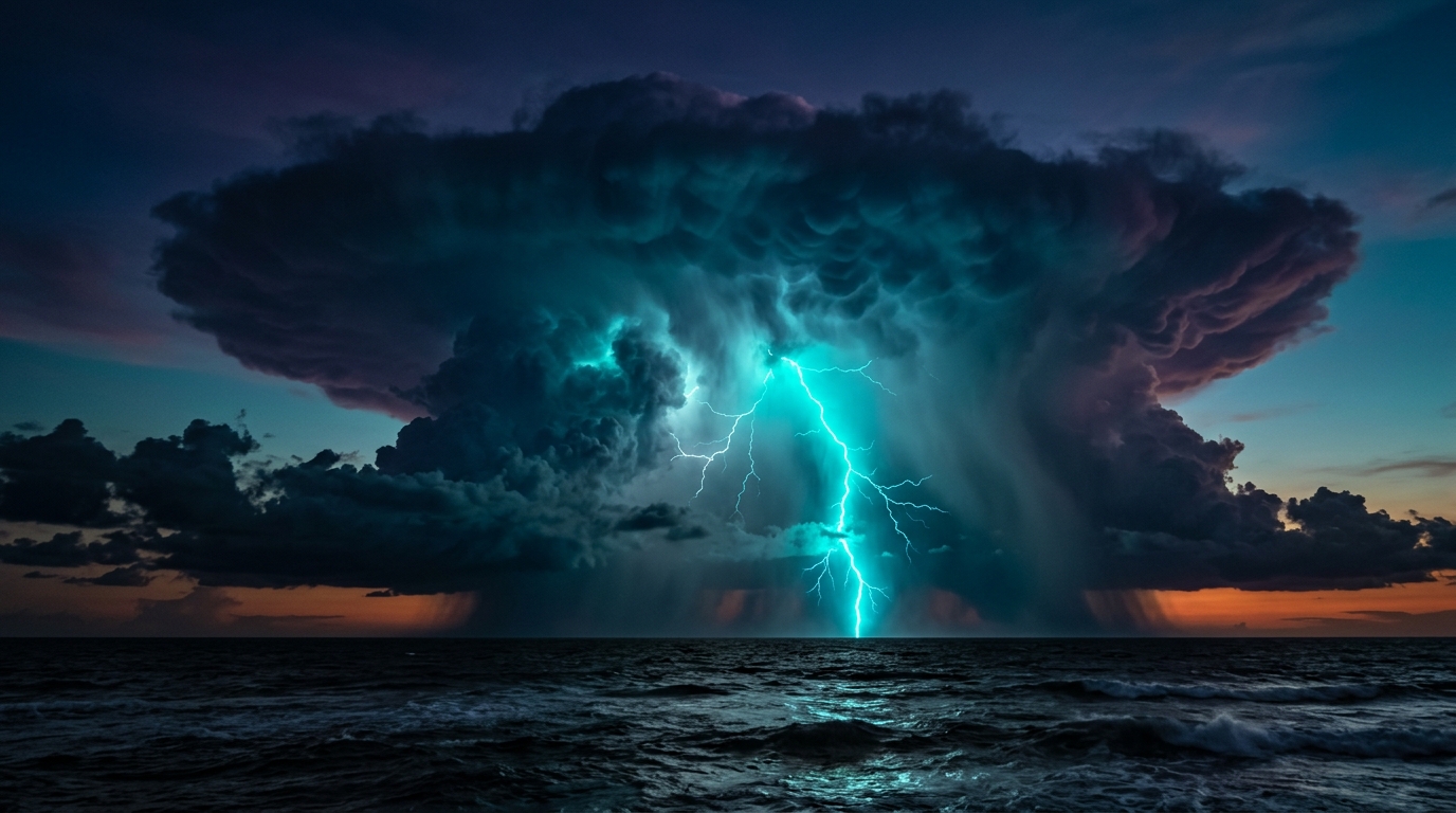
🌊 Arabian Sea Wave Dynamics
WMO NORMALIZEDWestern continental shelf & ports (Mumbai JNPT, Cochin, Kandla). Significant wave height (Hs) normalized to WMO Sea State codes.

Earth, Marine Hydrometeorology & Seismological Operations • Lead Analyst: Ramji
Instant temperature, 7-day outlook & rainfall forecasts for 20+ cities.
Wave heights (Hs), swell physics, wind knots & port operations.
USGS global seismic events, megathrust fault risks & DART buoy alerts.
Riverbed bathymetry cross-sections, scour depth & streamflow discharge.
Real-Time Geostationary Cloud Composite & Synoptic Radar Picture Overlay
INSAT-3DS Geostationary Infrared Satellite Picture • Updated Live
Real-Time City Forecast, Temperature, Rain Probability & 7-Day Outlook
Loading conditions...
Updated with live telemetry
Ground temperature trajectory and precipitation probability curve (IST • Indian Standard Time)
Open-access meteorological and marine intelligence is supported by our verified technology sponsors. All ads and promos consolidated here.
High-frequency Doppler radar arrays providing sub-minute precipitation intensity scans for major maritime ports.
Fuel-efficient voyage routing, tidal berthing window forecasts, and severe swell avoidance analytics across the Bay of Bengal.
Autonomous deep-sea bottom pressure recorders and solar-powered wave height transmitters for harbor pilots.
APIs online — single mention only. Telemetry feeds validated for Open-Meteo Weather & Marine, USGS Global Seismology, IMD Coastal Doppler Radar, and River Flood Models.
Directly structured for answer engine indexing (ChatGPT, Perplexity, Claude, Google Gemini) and marine harbor pilots.
| Domain & Phenomena | Mathematical / Sensor Metric | Safety Warning Threshold | Physical Operational Impact | Telemetry Authority |
|---|---|---|---|---|
| 🌊 Kallakkadal & Marine Swell ℹ️ | Hs = 4√(m₀), Period Tp > 18s | Hs ≥ 3.0m • Surge Period > 18s | Unannounced harbor flooding under clear skies; vessel mooring snapping hazards. | INCOIS Wave Buoys / ECMWF |
| 🌪️ Doppler Radar Squall Detection | Reflectivity Z (dBZ) ℹ️, Radial V (m/s) | Z ≥ 50 dBZ • Gusts > 50 kts | Severe microbursts, sudden crane overturning at ports, localized urban flash inundation. | IMD Doppler Radar Array |
| 🛰️ Deep Convective Cyclone Core | Cloud Top Temp Tbb (IR1) | Tbb ≤ -75°C (Intense CDO ℹ️) | Rapid tropical cyclone intensification (RI); extreme offshore marine wave generation. | INSAT-3DS Geostationary AMI |
| 🌋 Subduction Seismology & Faults ℹ️ | Moment Mag (Mw), Depth (km) | Mw ≥ 6.5 • Depth ≤ 30km | Megathrust tsunamigenic seabed displacement across Makran & Andaman subduction zones. | USGS NEIC & NCS MoES |
| 🏞️ River Basin Flash Flood Inflow | Discharge Q (m³/s), Stage Level (m) | Stage ≥ High Flood Level (HFL) | Automated dam spillway releases; downstream delta agricultural backwater inundation. | Central Water Commission (CWC) |
| 🌙 Vikram Samvat Vedic Tithi | Δθ(Sun-Moon) / 12°, Epoch +57 yrs | Amavasya / Purnima Phase | Gravitational lunar spring tides (+20% tidal elevation); astronomical calendar alignment. | Surya Siddhanta Ephemeris |
Ramji Weather Channel is an advanced, high-definition meteorological, oceanographic, wave physics, and seismological intelligence portal. It delivers real-time coastal Doppler weather radar, INSAT-3DS geostationary satellite streams, Open-Meteo marine wave dynamics, USGS global earthquake tracking, Central Water Commission (CWC) river discharges, synchronized UTC/IST dual clocks, and Vikram Samvat lunar Panchang coordinates.
Select the Coastal Radar or Satellite tab on the dashboard. Users can inspect live 10-minute Doppler radar loops for Mumbai, Chennai, Visakhapatnam, Kolkata, Goa, and Kochi to track storm cores in dBZ reflectivity. The Geostationary Satellite Studio provides INSAT-3DS color composite (RGB), thermal infrared (IR1 for cloud-top temperatures), visible cloud, and water vapor bands.
Kallakkadal refers to sudden, intense ocean swell surges along the coasts of Kerala, Tamil Nadu, and Lakshadweep that occur under calm, sunny local skies. They are generated by distant Southern Ocean / Antarctic storms thousands of nautical miles away. Ramji Weather Channel tracks long-period swells (> 18 seconds) and significant wave height ($H_s$), alerting harbor pilots and coastal communities before surges breach low-lying coastal sea walls.
The platform ingests live telemetry from the USGS Global Earthquake Hazards Program and National Centre for Seismology (NCS). Epicenter coordinates are plotted in real time on an interactive Leaflet world map alongside a Magnitude vs. Focal Depth subduction scatter chart. The portal specifically highlights the Himalayan Central Seismic Gap, Zone V (Jammu & Kashmir, Himachal, Uttarakhand, Northeast) and Zone IV (Delhi-NCR) tectonic fault lines.
The dual chronometer synchronizes local Indian Standard Time (IST UTC+05:30) and Universal Scientific Coordinated Time (UTC Zulu Z) with millisecond precision. Concurrently, an astronomical algorithm computes the synodic lunar phase from known reference epochs to display the real-time Vikram Samvat year, lunar month (Masa), Paksha (Shukla/Krishna), and active Tithi (Pratipada to Purnima/Amavasya), crucial for evaluating gravitational spring tides.